


Map & Location Management
The Map interface provides a comprehensive geographical view of your facility with device positioning, zone boundaries, and interactive location-based monitoring. This powerful tool combines real-time device status with spatial awareness, enabling efficient facility management through visual mapping and location intelligence.
Map System Overview
The Map interface provides spatial visualization and management capabilities for your entire facility:
- Device Positioning: Visual representation of all facility devices with GPS coordinates
- Zone Boundaries: Colored overlay showing defined facility zones and areas
- Smart Clustering: Automatic grouping of nearby devices at different zoom levels
- Interactive Markers: Click devices for detailed information and control options
- Optimal Centering: Automatic map positioning based on device distribution
- Theme Support: Light and dark map themes for different viewing preferences
Accessing the Map Interface
Access the facility map through the admin dashboard navigation:
- Navigate to Map: Select "Map" from the main admin dashboard navigation
- Device Loading: The system automatically loads all devices with GPS coordinates
- Zone Loading: Active zones with defined boundaries are loaded and displayed
- Auto-Centering: Map automatically centers on your facility's device distribution
- Theme Detection: Map style adapts to your current theme (light/dark mode)
Loading Process: The map loads devices and zones independently, so you may see devices appear first followed by zone overlays. This ensures fast initial loading while providing complete spatial context.
Map Interface Elements
The map interface includes several key elements for navigation and information display:
Map Layers
- Base Map Layer: OpenStreetMap for light theme, custom Mapbox dark theme for dark mode
- Zone Layer: Colored polygon overlays showing facility zones and boundaries
- Device Layer: Interactive markers representing facility devices with clustering
- Legend Overlay: Zone color legend positioned in the top-right corner
Interactive Controls
- Zoom Controls: Mouse wheel or touch gestures for zoom in/out (12x-18x zoom range)
- Pan Navigation: Click and drag to move around the map
- Device Interaction: Click device markers to open detailed information modals
- Cluster Expansion: Click clustered markers to zoom in and expand the cluster
Loading States
- Initial Loading: Full-screen progress indicator during device data loading
- Zone Loading: Small overlay indicator in top-left corner during zone loading
- Clustering Updates: Smooth transitions when zoom level triggers clustering changes
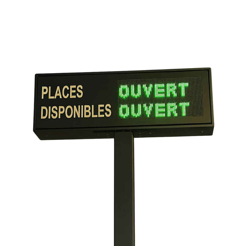
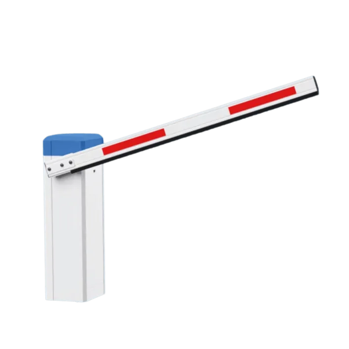
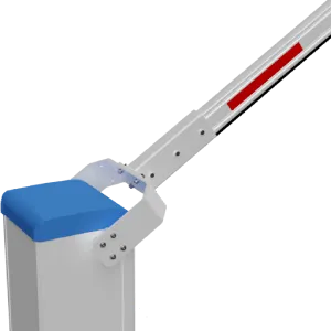
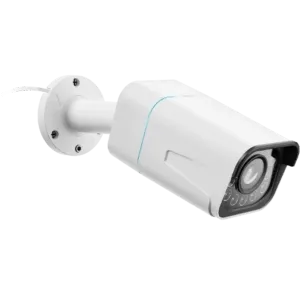
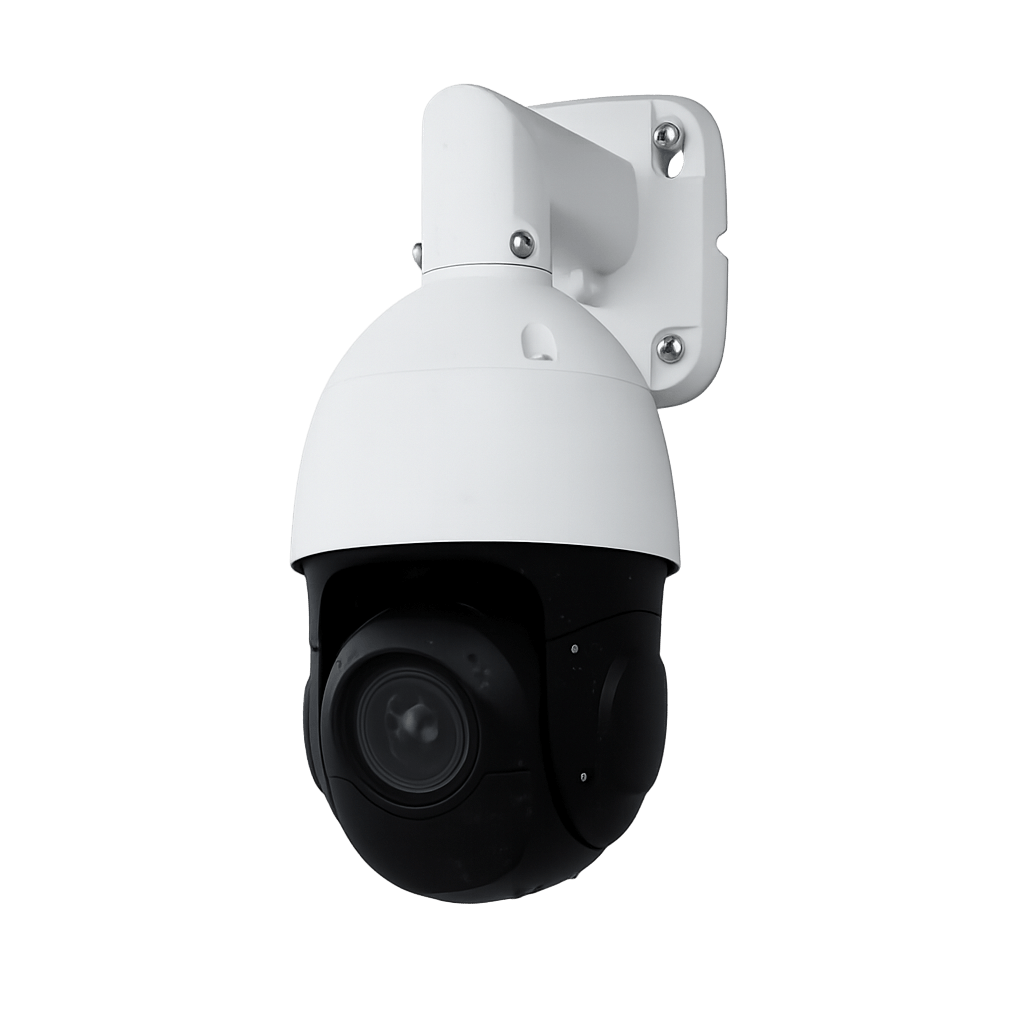
Device Markers & Icons
Device markers provide visual representation and interaction for all facility hardware. Each device type has a distinct icon for easy identification.
Device Icon Types
Marker Behavior
- Click Interaction: Single click opens device detail modal with controls
- Visual Feedback: Hover effects and click debouncing prevent accidental triggers
- Performance Optimization: High-quality rendering with caching for smooth interaction
- Coordinate Validation: Only devices with valid GPS coordinates are displayed
Zone Visualization & Boundaries
Zones provide spatial organization and visual boundaries for different areas within your facility. Each zone is represented as a colored polygon overlay with customizable styling.
Zone Polygon System
- GPS Boundaries: Zones defined by precise GPS coordinate points
- Polygon Rendering: Smooth polygon overlays with transparent fill and colored borders
- Custom Colors: Each zone has a unique color for easy identification
- Active Filtering: Only active zones with defined points are displayed
Zone Legend
- Automatic Legend: Color-coded legend appears when zones are present
- Top 10 Display: Shows first 10 zones with "+X more" indicator for additional zones
- Responsive Positioning: Legend positioned in top-right corner with shadow styling
- Zone Names: Clear zone identification with color swatches
Zone Data Structure
- Parsed Coordinates: Zone boundary points automatically parsed from zone configuration
- Color Management: Zone colors stored and parsed from configuration data
- Status Filtering: Only zones marked as active are loaded and displayed
- Performance Optimization: Zones loaded separately from devices for optimal loading times
Smart Marker Clustering
The clustering system automatically groups nearby devices to prevent overcrowding at lower zoom levels while providing detailed views when zoomed in.
Clustering Algorithm
- Radius-Based Grouping: 35-pixel cluster radius for optimal device grouping
- Zoom-Responsive: Clusters automatically expand/collapse based on zoom level
- Performance Optimized: Reduced polygon rendering to prevent visual artifacts
- Smooth Transitions: Animated clustering changes during zoom operations
Cluster Visual Design
Blue circular badge showing device count
- Consistent Styling: Blue circular badges with white text
- Device Count: Clear numerical display of clustered devices
- Drop Shadow: Visual depth with subtle shadow effects
- Click Interaction: Click to zoom in and expand cluster
Troubleshooting Common Issues
Map Not Loading
- Check Internet Connection: Map tiles require active internet connection
- Browser Compatibility: Use modern browsers with JavaScript enabled
- Clear Browser Cache: Refresh page or clear cache for tile loading issues
- VPN/Firewall: Ensure map tile servers are accessible
Devices Not Showing
- GPS Coordinates: Verify devices have valid latitude/longitude values
- Device Status: Check if devices are active and properly configured
- Zoom Level: Zoom in to expand clusters and reveal individual devices
- Browser Console: Check for JavaScript errors that may prevent loading
Zone Display Issues
- Zone Configuration: Ensure zones have valid boundary points defined
- Zone Status: Check that zones are marked as active
- Coordinate Format: Verify zone points use correct GPS coordinate format
- Color Configuration: Ensure zones have valid color values assigned
Performance Issues
- Device Count: Large numbers of devices may require clustering optimization
- Browser Memory: Close unnecessary tabs to free system resources
- Map Theme: Switch between light/dark themes if experiencing rendering issues
- Zoom Range: Stay within recommended zoom levels (12-18) for optimal performance
Best Practices for Map Management
Device Positioning
- Accurate GPS Coordinates: Ensure all devices have precise latitude/longitude values
- Survey Existing Devices: Physically verify device locations match map positions
- Coordinate Validation: Use GPS apps to confirm coordinate accuracy during installation
- Update Frequency: Regularly review and update device positions as needed
Zone Configuration
- Clear Boundaries: Define zones with precise boundary points for accurate representation
- Color Coordination: Use distinct colors for different zone types and purposes
- Logical Grouping: Organize zones by function (parking, access, service areas)
- Zone Overlap: Avoid overlapping zones unless specifically required
Performance Optimization
- Device Limits: Monitor device count for optimal clustering performance
- Zone Complexity: Keep zone polygons reasonably simple for smooth rendering
- Browser Performance: Use modern browsers with hardware acceleration
- Network Connectivity: Ensure stable internet connection for map tile loading
Map System Ready!
Your facility mapping system is configured. Explore related location-based management features.